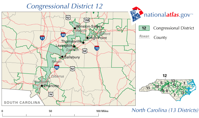
Two new posts on Rick Hasen’s Election Law Blog give an update on the ridiculous spectacle of redistricting also known as gerrymandering. Take a look at the excerpt:
Also, another redistricting-related announcement. PDFs, ESRI shapefiles, and Google maps of all of the new federal and state redistricting lines, along with links to state pages with more data about the new districts, are now available here. (All, that is, except the states that aren’t yet done, and Rhode Island, which hasn’t yet made shapefiles publicly available.) For those looking to do research on the new lines before the Census turns around new data products, this collection of files should help.
Also, there is a link to a comprehensive resource on state by state redistricting including great maps and other information, you can find that on Loyola Law School’s website here. Or use Loyola’s website for a great national map and analysis of redistricting litigation that can be found here.
Election Law Blog also has another post about the current litigation that you can read below:
That’s right — 40 states have now seen 176 lawsuits affecting redistricting this cycle … so far. Numbers 173-176 were filed challenging the newest Pennsylvania state maps late last week. Details on all of the litigation so far, here.
Last cycle, there were 149 cases filed, and 150 cases the cycle before … which makes this cycle the most litigious in at least the last 30 years. And we’re not done yet. Redistricting Lawsuits Move Forward
Leave a Reply